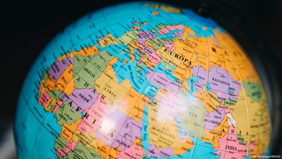
A yearslong push to change the default view of the Earth came to a vote at the United Nations General Assembly on Friday with 164 countries in favor of a new map, the United States against it and six abstentions.
Known as the Equal Earth cartographic projection, the map “offers a more accurate representation of the sizes of continental landmasses and to this end is a relevant option for improving the accuracy of the cartographic representation of the world,” according to the resolution, which was spearheaded by several African countries.
Togo‘s foreign minister, Robert Dussey, told the UN maps “shape our understanding of the world.”
“They guide education, nourish the imagination, and influence collective perceptions,” he said. “They are, therefore, never neutral, when they present a distorted image of our planet, they risk perpetuating inaccurate representation that are passed down through generation.”
No, Greenland is nowhere near as big as Africa
The resolution pushes for countries to adopt the Equal Earth projection rather than the traditional Mercator projection, which was created in 1569 by Flemish cartographer Gerardus Mercator.
The Mercator projection accurately depicts the shapes and angles of landmasses, necessary for shipping, but distorts their relative sizes: landmasses near the Earth’s poles appear larger while those near the equator look smaller. This makes Greenland appear about as big as Africa, despite the African continent being about 14 times larger.
Togo’s Dussey said his country aims to replace the maps used in its schools by the end of the year.
The Mercator projection’s use is a result of colonization, Dussey said, adding, “The world is changing. Africa also is changing.”
US, China, India, Japan, Mexico and part of EU fit in Africa
France, which co-sponsored the resolution, said on Friday that it would also abandon the Mercator projection.
In that projection, “the United States, Russia and China take on a disproportionate visual prominence compared to Africa, Latin America or southeast Asia,” while “Greenland appears almost as big as Africa,” French Foreign Minister Jean-Noel Barrot said in statement.
“Changing maps obviously doesn’t change the world,” he acknowledged. “But correcting a distorted representation is already an act of truth.”
In support of the new projection, online campaign group #CorrectTheMap said, “You could fit the United States, China, India, Japan, Mexico and much of Europe into Africa and still have land to spare.”
The UN General Assembly vote is not legally binding and “in no way challenges the use of Mercator projection for maritime and aerial navigation, for which it remains fully suited,” the ministry said in a statement.
Equal Earth a ‘distraction,’ US says
As the only country to vote against the resolution, the United States said the Equal Earth projection pushed an “ideological agenda” and distracted attention from “genuine problems of international peace, prosperity or good relations.”
“Instead of focusing on genuine problems… this body is debating map projects from the 16th century and their role in promoting reparations and cognitive justice,” US representative Yaryna Ferencevych said ahead of the vote.
Estonia, Georgia, Lithuania, Morocco, Serbia and Ukraine abstained from voting on the resolution.
Edited by: Dmytro Hubenko
If you rely on our team for trusted reporting, please take a moment to select us as your Preferred Source on Google so you’ll always see our verified news first.